
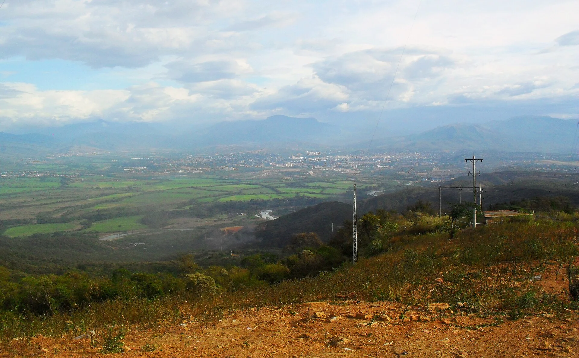
Venezuela
Venezuela is replete with stunning natural wonders and sights such as countless national parks, magnificent waterfalls, and three UNESCO World Heritage Sites . The world's tallest waterfall, the Angel Falls (Kerepakupai Vená), is found…
At a glance
Useful facts for planning
In this guide
Why go
Overview
Venezuela is replete with stunning natural wonders and sights such as countless national parks, magnificent waterfalls, and three UNESCO World Heritage Sites . The world's tallest waterfall, the Angel Falls (Kerepakupai Vená), is found here.
Venezuela is home to the world's highest waterfall, Angel Falls and the second longest river in South America, the Orinoco. It also has the longest coastline to the Caribbean sea. Venezuela is the world's fifth-largest oil exporter and also has vast untapped reserves of natural gas. Ecologically, Venezuela is considered among the 20 Megadiverse countries of the planet; more than 40% of its national territory is covered by protected areas.
Venezuela was one of the three countries that emerged from the collapse of Gran Colombia in 1830 (the others being Colombia and Ecuador). For most of the first half of the 20th century, Venezuela was ruled by military strongmen and the country was largely underdeveloped, depending mainly on agriculture.
Culture and food
Arepas, thick corn tortillas which are split and stuffed with myriad fillings, are the quintessential Venezuelan dish. The most famous variations are the " reina pepiada " (shredded chicken salad with avocado) and “ dominó ” (stuffed with black beans and shredded white cheese). Hallacas (Venezuela's homegrown version of the tamale, with meat, olives, raisins covered in cornmeal and wrapped in plantain leaves to be steamed) are a popular Christmas dish. Cachapas (corn pancakes often topped with a salty cheese called " telita " or " queso de mano "), empanadas (savory pastries filled commonly with cheese, meat or fish and most commonly fried but also baked at home) and the ubiquitous " perros calientes " (hot dogs) or " pepitos " are popular street food. For slow food, try delicious fish meals, or a shrimp soup known as “cazuela de mariscos”.
The traditional Venezuelan lunch is " pabellón ", and consists of rice, black beans, and shredded meat, with a side of fried plantain slices. The above dishes are known as "comida criolla", or Creole food.
Sights and landscapes
Venezuela is located in the north of South America. Geologically, its mainland rests on the South American Plate . It has a total area of 916,445 km 2 (353,841 sq mi) and a land area of 882,050 km 2 (340,560 sq mi), making Venezuela the 32nd largest country in the world . The territory it controls lies between latitudes 0° and 16°N and longitudes 59° and 74°W .
Shaped roughly like a triangle, Venezuela has a 2,800 km (1,700 mi) coastline in the north, which includes numerous islands in the Caribbean and Atlantic Ocean. Most observers describe Venezuela in terms of four fairly well defined topographical regions: the Maracaibo lowlands in the northwest, the northern mountains extending in a broad east–west arc from the Colombian border along the northern Caribbean coast, the wide plains in central Venezuela, and the Guiana Highlands in the southeast.
The northern mountains are the extreme northeastern extensions of South America's Andes mountain range. Pico Bolívar , the nation's highest point at 4,979 m (16,335 ft), lies in this region. To the south, the dissected Guiana Highlands contain the northern fringes of the Amazon Basin and Angel Falls , the world's highest waterfall, as well as tepuis , large table-like mountains. Venezuela's center is characterized by the Llanos , which are extensive plains that stretch from the Colombian border in the far west to the Orinoco Delta in the east. The Orinoco with its rich alluvial soils binds the largest and most important river system. The Orinoco Basin is one of the largest watersheds in Latin America. The Caroní and the Apure are other major rivers.
Venezuela borders Colombia to the west, Guyana to the east, and Brazil to the south. Caribbean islands such as Trinidad and Tobago , Grenada , Curaçao , Aruba , and the Leeward Antilles lie near the coast. Venezuela has territorial disputes with Guyana, formerly United Kingdom, largely concerning the Essequibo area , and with Colombia concerning the Gulf of Venezuela .
Venezuela is entirely located in the tropics over the Equator to around 12° N. Its climate varies from humid low-elevation plains, where average annual temperatures range as high as 35 °C (95.0 °F), to glaciers and highlands (the páramos ) with an average yearly temperature of 8 °C (46.4 °F). Annual rainfall varies from 430 mm (16.9 in) in the semiarid portions of the northwest to over 1,000 mm (39.4 in) in the Orinoco Delta of the far east and the Amazon rainforest in the south.
The precipitation level is lower from August to April. These periods are referred to as hot-humid and cold-dry seasons. Another characteristic of the climate is this variation throughout Venezuela by the existence of a mountain range called "Cordillera de la Costa" which crosses Venezuela from east to west. The majority of the population lives in these mountains. Meanwhile, the unique geography of and around Lake Maracaibo causes mountain-valley and land-sea breezes that causes the most frequent lightning anywhere in the world, also known as Cataumbo lightning .
Venezuela falls into four horizontal temperature zones based primarily on elevation, having tropical, dry, temperate with dry winters, and polar ( alpine tundra ) climates, amongst others. In the tropical zone—below 800 m (2,625 ft)—temperatures are hot, with yearly averages ranging between 26 and 28 °C (78.8 and 82.4 °F). The temperate zone ranges between 800 and 2,000 m (2,625 and 6,562 ft) with averages from 12 to 25 °C (53.6 to 77.0 °F); many of Venezuela's cities, including the capital, lie in this region. Colder conditions with temperatures from 9 to 11 °C (48.2 to 51.8 °F) are found in the cool zone between 2,000 and 3,000 m (6,562 and 9,843 ft), especially in the Venezuelan Andes, where pastureland and permanent snowfield with yearly averages below 8 °C (46 °F) cover land above 3,000 meters (9,843 ft) in the páramos . The highest temperature recorded was 42 °C (108 °F) in Machiques . The lowest temperature recorded was −11 °C (12 °F), reported from an uninhabited high altitude at Páramo de Piedras Blancas ( Mérida state ).
Travel guide text compiled and adapted from Wikivoyage article (contributors) and Wikipedia article (contributors). Sections were selected and reordered for this guide. Text is shared under CC BY-SA 4.0. Check current arrangements with your travel consultant.
Plan the full journey
Useful for this trip
This country’s visa guidance has not been fully verified against current official requirements. Confirm the application route for your passport, residence and purpose before making travel commitments.
Review details
Venezuela: Official pages were retrieved, but the complete imported guidance has not been corroborated claim by claim for Kenyan ordinary passports. Still to confirm: passport validity, tourist and business eligibility, application route, any exemptions and published processing guidance. Residents using other passports require a separate nationality check.