
Burkina Faso
Burkina Faso is a landlocked country in West Africa . Burkina Faso is one of the friendliest countries in all of Africa. Until unrest began in the late 2010s that made travel to the…
At a glance
Useful facts for planning
In this guide
Why go
Overview
Burkina Faso is a landlocked country in West Africa . Burkina Faso is one of the friendliest countries in all of Africa. Until unrest began in the late 2010s that made travel to the country unsafe, it received only a few tourists per year, and was an excellent destination for anyone interested in seeing a beautiful West African country and exploring African culture and music. It offers a diverse traditional culture, history, tribal art and a variety of landscapes.
Literally meaning the Land of the Upright Men, Burkina Faso, a landlocked country, comprises an area of 274,400 km 2 and is surrounded by six countries. It was known as Upper Volta from 1919 to 1984.
Until the end of the 19th century, the history of Burkina Faso was dominated by the empire-building Mossi. The French arrived and claimed the area in 1896, but Mossi resistance ended only with the capture of their capital, Ouagadougou, in 1901. The colony of Upper Volta was established in 1919, but it was dismembered and reconstituted several times until the present borders were recognized in 1947.
Sights and landscapes
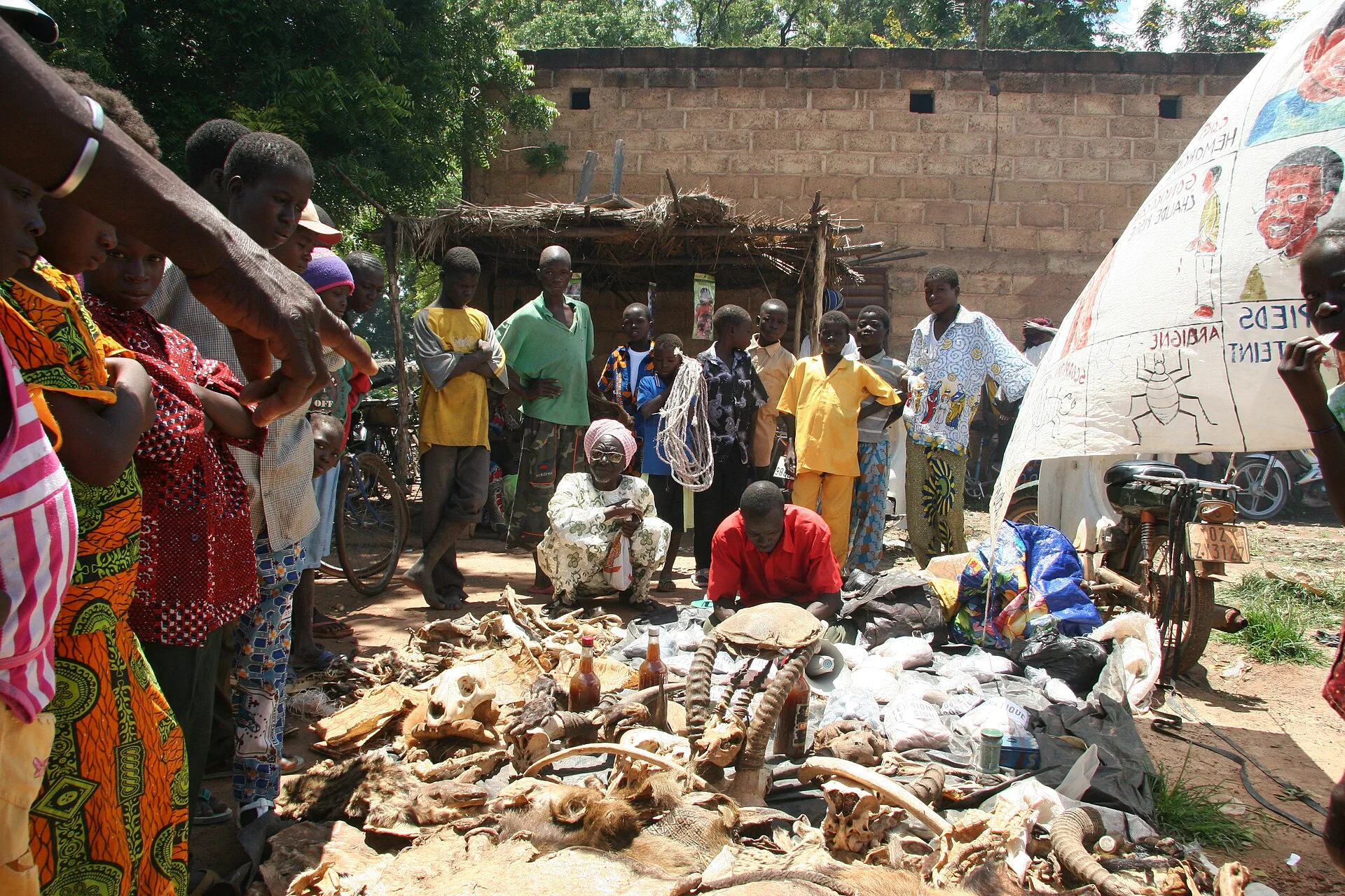
Burkina Faso, despite being poor, has an indescribably rich culture. Its highlights include spiritual mask dances, mud mosques, Tuareg traders, an extraordinary music and cinema scene, thousand-year-old ruins and remote communities that follow animistic beliefs.
There are two major types of countryside. The larger part of the country is covered by a peneplain , which forms a gently undulating landscape with, in some areas, a few isolated hills, the last vestiges of a Precambrian massif . The southwest of the country is a sandstone massif, where the highest peak, Ténakourou , is found at an elevation of 749 meters (2,457 ft). The massif is bordered by sheer cliffs up to 150 m (492 ft) high. The average altitude of Burkina Faso is 400 m (1,312 ft) and the difference between the highest and lowest terrain is no greater than 600 m (1,969 ft).
The country owes its former name of Upper Volta to three rivers which cross it: the Black Volta (or Mouhoun ), the White Volta ( Nakambé ) and the Red Volta ( Nazinon ). The Black Volta is one of the country's only two rivers which flow year-round, the other being the Komoé , which flows to the southwest. The basin of the Niger River also drains 27% of the country's surface.
The Niger's tributaries – the Béli, Gorouol, Goudébo, and Dargol – are seasonal streams and flow for only four to six months a year. They still can flood and overflow, however. The country also contains numerous lakes – the principal ones are Tingrela, Bam , and Dem. The country contains large ponds, such as Oursi, Béli, Yomboli, and Markoye. Water shortages are often a problem, especially in the north of the country.
Burkina Faso has a primarily tropical climate with two very distinct seasons. In the rainy season, the country receives between 600 and 900 mm (24 and 35 in) of rainfall. In the dry season, the harmattan – a hot dry wind from the Sahara – blows. The rainy season lasts around four months, May/June to September, but is shorter in the north of the country. There are three climatic zones: the Sahel , the Sudan-Sahel, and the Sudan-Guinea. The Sahel in the north typically receives less than 600 mm (24 in) of rainfall per year and has high temperatures, 5–47 °C (41–117 °F ).
Experiences
Starting in Gorom Gorom, you can take a camel ride out into the desert and even sleep out there on the sand. Guides can arrange this for you from Gorom Gorom and it can be expensive if you do not pick your guides carefully. Take warm clothes and good blankets if you plan to sleep in the desert. Women should bring trousers to wear on camels because skirts (especially African pagnes) tend to fall open due to the shape of the saddle.
There is a beautiful hike alongside the waterfalls outside of Banfora. The admission price is one or two thousand francs. Be careful not to spend too much time in the water: tourists occasionally catch bilharzia, also known as Schistosomiasis, from swimming in the falls. The locals will tell you that swimming will not make you sick, but it can.
Also near Banfora is a lake (more of a pond, actually) where you can take a trip out on a pirogue to see the hippos. Do not expect too much. Often all you see of the hippos is ears sticking up out of the water. Remember, hippos are dangerous animals who do not like being bumped by pirogues that get too close, so be careful. This will cost two or three thousand francs per person.
Planning your route
There are buses and vans (cars) to Benin, Côte d'Ivoire, Ghana, Mali, Niger, and Togo. There is a train service for the Abidjan-Banfora-Bobo-Ouaga route. Hitchhiking is not common. Rent a bike (~ CFA3000) or a moto (~ CFA6,000) to get around locally.
Even wealthy Burkinabé who own cars do not use them to travel between major cities, but opt for buses instead. The major routes between Ouagadougou and other cities are in good condition; taxi drivers can be erratic.
Travel guide text compiled and adapted from Wikivoyage article (contributors) and Wikipedia article (contributors). Sections were selected and reordered for this guide. Text is shared under CC BY-SA 4.0. Check current arrangements with your travel consultant.
Plan the full journey
Useful for this trip
This country’s visa guidance has not been fully verified against current official requirements. Confirm the application route for your passport, residence and purpose before making travel commitments.
Review details
Burkina Faso: Official pages were retrieved, but the complete imported guidance has not been corroborated claim by claim for Kenyan ordinary passports. Still to confirm: passport validity, tourist and business eligibility, application route, any exemptions and published processing guidance. Residents using other passports require a separate nationality check.