
Barbados
The main chain of Caribbean islands are along the rim of a tectonic plate that is migrating east, throwing up a line of volcanoes. Around that rim formed a shallow sea with a build-up…
At a glance
Useful facts for planning
In this guide
Why go
Overview
The main chain of Caribbean islands are along the rim of a tectonic plate that is migrating east, throwing up a line of volcanoes. Around that rim formed a shallow sea with a build-up of corals: one million years ago this was uplifted to become the present island, a slab of limestone.
The first inhabitation of Barbados was probably about 1600 BC but little is known of those people. Better evidenced are the Saladoid-Barrancoid people who arrived by canoe from Venezuela's Orinoco Valley around 350 AD. Next were the Arawaks, arriving from South America around 800 AD; they called the place Ichirouganaim meaning "teeth", referring to the island's reefs. In the 13th century, the Caribs arrived from South America and displaced the previous populations. For the next few centuries, they lived in isolation here.
In 1536 the Portuguese explorer Pedro Campos called the island "Os Barbados" ("The Bearded Ones") because the long hanging aerial roots of the island's fig trees resembled beards. Later, Spanish conquistadors seized many Caribs on Barbados to use as slaves, and many other Caribs fled from the island. However, neither Spain nor Portugal settled here. The first Europeans to do so were the British from 1627 and, unlike other Caribbean islands, Barbados never passed into the control of other nations as the later centuries' wars played out.
Places to explore
Outlying islands are just uninhabited rocks. Pelican Island off Bridgetown was once a quarantine facility, but it was engulfed by mainland harbour development in 1961. Culpepper Island is a scrap of grass 30 yards across that you can wade out to off the east coast. Some Arawak Indians have claimed it as their sovereign territory, but nobody pays any heed.
Culture and food
What to eat? Bajan cuisine is an odd mix of spicy, flavorful treats along with traditional English fayre. So be prepared for meals where fiery stews accompany beans on toast.
Barbados is a blend of West African, Portuguese , Creole, Indian and British cultures . Citizens are officially called Barbadians, but are colloquially known as "Bajans" (pronounced ˈbājənz). This term evolved from "Badian" (a shortening of "Barbadian") during the 19th century.
Planning your route
Drive on the left. The bus system is extensive, cheap and fast if you are headed somewhere on the main route, but a car or mini-moke is the only way to reach the out-of-the-way sights. Buses run by the Barbados Transport Board are blue, and quiet. Private operators include the yellow buses, which play very loud music, and private white mini-vans, which are usually cramped and crowded. The private buses and mini-vans are often driven fast and furious. All charge the same flat fare for any journey: in 2026 it's B$3.50. They accept either B$ or US$, but BTB buses don't give change.
Taxis are plentiful and prices are reasonable. They don't use meters, so negotiate the price before you start. Your hotel or any friendly locals will know the going rate for a cab ride to the main destinations.
Renting a car is expensive. Island roads are narrow and twisty with poor sight-lines and unexpected bumps. The exception is the ABC highway, which is part dual carriageway.
Sights and landscapes
Barbados is situated in the Atlantic Ocean, east of the other West Indies Islands. Barbados is the easternmost island in the Lesser Antilles in the southern Caribbean area. It is 21 miles (34 kilometres) long and up to 23 km (14 mi) wide, covering an area of 439 km 2 (169 sq mi). It lies about 168 km (104 mi) east of both the countries of Saint Lucia and Saint Vincent and the Grenadines ; 180 km (110 mi) south-east of Martinique and 400 km (250 mi) north-east of Trinidad and Tobago . It is flat in comparison to its island neighbours to the west, the Windward Islands . The island rises gently to the central highland region known as Scotland District, with the highest point being Mount Hillaby 340 m (1,120 ft) above sea level.
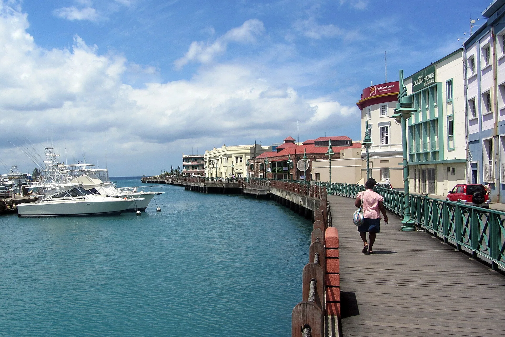
In the parish of Saint Michael lies Barbados's capital and main city, Bridgetown , containing one third of the country's population. Other major towns scattered across the island include Holetown , in the parish of Saint James ; Oistins , in the parish of Christ Church ; and Speightstown , in the parish of Saint Peter .
Barbados lies on the boundary of the South American and the Caribbean Plates . The subduction of the South American Plate beneath the Caribbean Plate scrapes sediment from the South American Plate and deposits it above the subduction zone forming an accretionary prism . The rate of this depositing of material allows Barbados to rise at a rate of about 25 mm (1 in) per 1,000 years. This subduction means geologically the island is composed of coral roughly 90 m (300 ft) thick, where reefs formed above the sediment. The land slopes in a series of "terraces" in the west and goes into an incline in the east. A large proportion of the island is circled by coral reefs .
The erosion of limestone in the northeast of the island, in the Scotland District, has resulted in the formation of various caves and gullies . On the Atlantic east coast of the island coastal landforms , including stacks , have been created due to the limestone composition of the area. Also notable in the island is the rocky cape known as Pico Teneriffe or Pico de Tenerife, which is named after the fact that the island of Tenerife in Spain is the first land east of Barbados according to the belief of the locals.
Travel guide text compiled and adapted from Wikivoyage article (contributors) and Wikipedia article (contributors). Sections were selected and reordered for this guide. Text is shared under CC BY-SA 4.0. Check current arrangements with your travel consultant.
Plan the full journey
Useful for this trip
This country’s visa guidance has not been fully verified against current official requirements. Confirm the application route for your passport, residence and purpose before making travel commitments.
Review details
Barbados: Official pages were retrieved, but the complete imported guidance has not been corroborated claim by claim for Kenyan ordinary passports. Still to confirm: passport validity, tourist and business eligibility, application route, any exemptions and published processing guidance. Residents using other passports require a separate nationality check.